Iran’s Geographic Position: Why the Map Still Matters
Iran’s importance begins with geography.
Before oil, before sanctions, before ideology, before modern borders, Iran mattered because of where it stood. It occupied the high plateau between Mesopotamia, Central Asia, the Caucasus, the Indian subcontinent, the Persian Gulf, and the Caspian world. It was never a remote land at the edge of history. It was a meeting ground, a barrier, a bridge, and sometimes a battlefield between larger systems.
That remains true today.
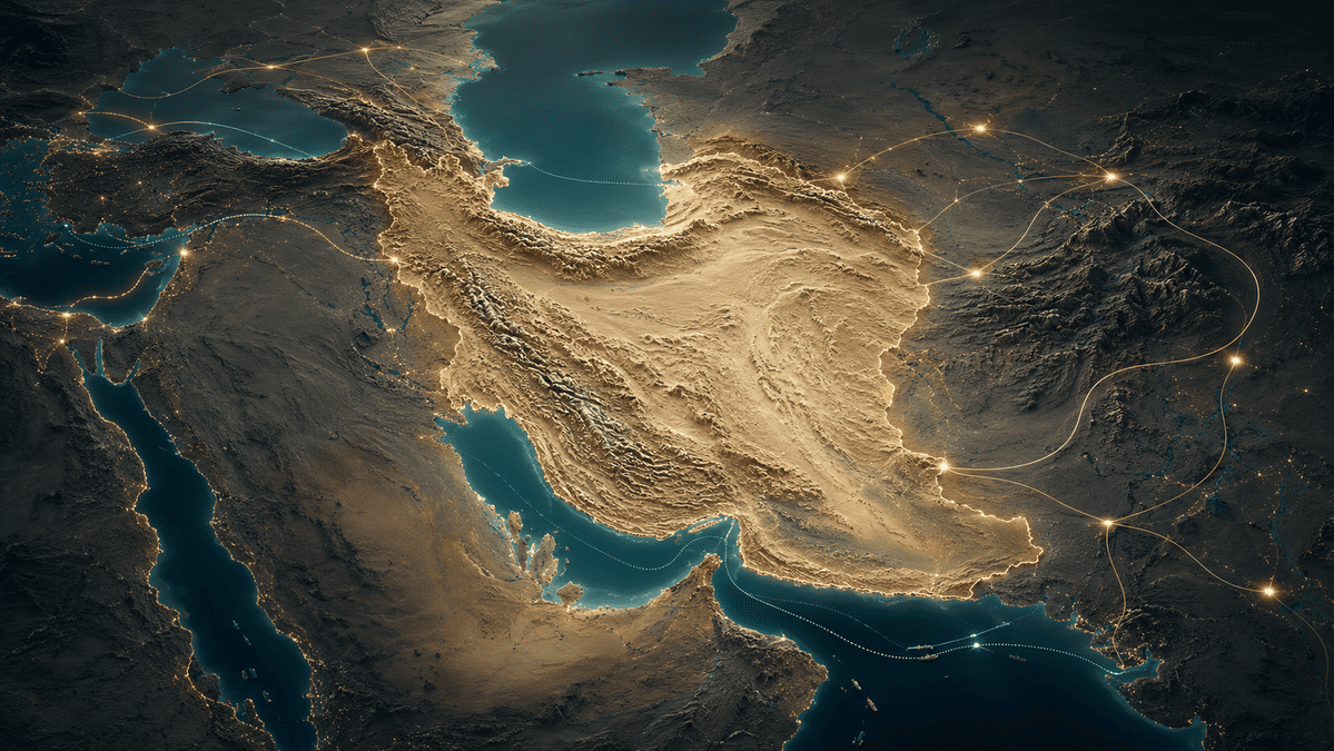
Iran is one of the few countries in the world whose geography connects several strategic regions at once. It touches the Persian Gulf and the Gulf of Oman in the south, the Caspian Sea in the north, Turkey and Iraq in the west, the Caucasus in the northwest, Turkmenistan and Central Asia in the northeast, and Afghanistan and Pakistan in the east. With an area of about 1.65 million square kilometers, nearly 5,900 kilometers of land borders, and a long southern coastline, Iran is not simply a Middle Eastern country. It is a continental hinge.
This is why Iran cannot be understood only as a domestic market, an energy producer, or a sanctioned economy. Iran is a geographic platform. Its position gives it influence over energy routes, trade corridors, regional security, landlocked economies, maritime access, and the movement of goods between Asia, the Middle East, and Eurasia.
But geography is not destiny. It is an invitation. Iran’s map gives it rare opportunities, but those opportunities become real only when geography is turned into infrastructure, trust, logistics, industry, and regional connectivity.
The value of Iran’s position is therefore not only that it is strategic. The value is that, under the right conditions, it can become useful.
The Country Between Several Worlds
Iran’s geography is unusual because it does not belong fully to one region.
It is part of the Middle East, but not only the Arab Middle East.
It is connected to the Caucasus, but not only a Caucasian country.
It borders Central Asia, but is not landlocked like Central Asian states.
It opens to the Persian Gulf, but also reaches the Gulf of Oman and the Indian Ocean.
It has deep ties to Iraq and the Levant, but also to South Asia, Russia, Turkey, and the Caspian basin.
This gives Iran a layered identity. It is a Gulf power, a Caspian state, a Eurasian corridor, a neighbor of South Asia, and a western gateway to Central Asia.
Few countries carry that many geographic roles at once.
Turkey connects Europe and Asia. Egypt connects the Mediterranean and the Red Sea. Saudi Arabia dominates much of the Arabian Peninsula. India commands a vast position in the Indian Ocean. Russia stretches across northern Eurasia. But Iran’s geography is different: it sits at the junction of multiple corridors without being absorbed by any single one of them.
This makes Iran valuable to many actors for different reasons.
For Central Asia, Iran can be a route to open water.
For India, Iran can be a path toward Afghanistan, Central Asia, and Eurasia.
For Russia, Iran can provide a southern route toward the Persian Gulf and Indian Ocean.
For Iraq and Afghanistan, Iran is a nearby supplier of energy, goods, food, medicine, and industrial inputs.
For the Gulf states, Iran is a neighbor whose stability or instability directly affects regional security.
For global energy markets, Iran sits beside one of the most important maritime chokepoints on earth.
This is the essence of Iran’s geopolitical position: many countries can avoid working deeply with Iran, but few can completely ignore it.
The Persian Gulf and the Strait of Hormuz
Iran’s southern geography is its most globally visible asset.
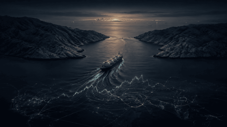
The Persian Gulf is one of the central energy zones of the world, and Iran occupies its northern shore. More importantly, Iran sits beside the Strait of Hormuz, the narrow passage linking the Persian Gulf to the Gulf of Oman and the wider Indian Ocean.
The Strait of Hormuz is not only a regional waterway. It is a global pressure point. According to the U.S. Energy Information Administration, oil flows through the Strait averaged about 20 million barrels per day in 2024, equal to roughly 20% of global petroleum liquids consumption. The EIA also notes that Hormuz accounted for more than one-quarter of global seaborne oil trade and about one-fifth of global LNG trade in 2024 and the first quarter of 2025.
This gives Iran geographic proximity to one of the world’s most important energy arteries.
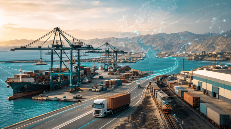
The opportunity is not only political leverage. It is economic geography. The southern coast of Iran can support ports, petrochemical zones, refineries, storage terminals, ship services, energy trade, industrial exports, and logistics platforms. Bandar Abbas, Assaluyeh, Bushehr, Qeshm, Kish, Bandar Lengeh, and other Gulf-facing nodes are not isolated local assets. They are part of a larger maritime-industrial system.
The strategic value of this region is clear: energy moves through it, cargo moves around it, and global markets watch it.
But Hormuz also shows the double nature of Iran’s geography. The same location that creates leverage also creates risk. When the region is stable, Iran’s southern coast can become a platform for trade and industry. When tension rises, the area becomes associated with disruption, insurance costs, military risk, and volatility.
This is why Iran’s opportunity around Hormuz is not simply to “control” a chokepoint. The deeper opportunity is to turn its Gulf position into a reliable economic zone. The more Iran’s southern geography is associated with functioning ports, industrial depth, export capability, and maritime services, the more its geopolitical weight becomes market value.
The Gulf of Oman and the Chabahar Advantage
If the Strait of Hormuz gives Iran chokepoint relevance, Chabahar gives Iran oceanic relevance.
Chabahar, located on the Gulf of Oman, is Iran’s most important port outside the Persian Gulf. This matters because it gives Iran direct access to the Indian Ocean without requiring passage through the Strait of Hormuz. In geographic terms, Chabahar is Iran’s open door to the wider maritime world.
The port has strategic meaning for several countries. For India, it offers a route toward Afghanistan and Central Asia that does not depend on Pakistan. For Afghanistan and Central Asian states, it offers another path toward open seas. For Iran, it gives the southeast a role far beyond its current economic weight.
In May 2024, India and Iran signed a 10-year agreement for the development and operation of Chabahar’s Shahid Beheshti terminal. India’s official reporting noted that Chabahar saw a 43% increase in vessel traffic and a 34% rise in container traffic in 2023–2024. The Indian Council of World Affairs described the agreement as strategically significant for India’s access to Central Asia and beyond.
For Iran, the opportunity is larger than port traffic alone.
Chabahar can become the anchor of a southeastern development corridor: port facilities, logistics parks, cold storage, mineral exports, food trade, container handling, road links, rail connectivity, industrial processing, and cross-border commerce with Afghanistan, Pakistan, and Central Asia.
This could change the meaning of Sistan and Baluchestan.
The province is often discussed through the language of remoteness, poverty, security, and border risk. Chabahar creates a different possibility: a region that functions as Iran’s Indian Ocean gateway. If the surrounding infrastructure develops, the southeast can shift from being treated as a peripheral borderland to becoming a strategic entry point.
The opportunity is not automatic. Chabahar still requires stronger hinterland connectivity, better cargo volumes, predictable customs, and integration with domestic and regional supply chains. But its geographic logic is strong. Iran does not have another Chabahar.
The Caspian Dimension
Iran’s northern geography is less visible than its Persian Gulf position, but it is also important.
The Caspian Sea connects Iran to Russia, Azerbaijan, Turkmenistan, and Kazakhstan. It gives Iran a northern maritime frontier and a role in Caspian trade, energy discussions, fisheries, port development, and north-south connectivity. Cities and ports such as Anzali, Amirabad, Noshahr, and Astara matter because they are not only local coastal assets. They are Iran’s northern doors.
The Caspian gives Iran access to a different economic world from the Persian Gulf. The Gulf looks toward Arab energy producers, global oil markets, and the Indian Ocean. The Caspian looks toward Russia, the Caucasus, Central Asia, and inland Eurasia.
This north-south duality is one of Iran’s strongest geographic features.
Many countries have a single coastline facing one strategic system. Iran has maritime access to two different strategic systems: the Persian Gulf and the Caspian basin. The value of this dual access becomes clearer when global trade routes face disruption. If shipping through one region becomes risky or expensive, alternative routes gain importance. If Russia, India, Central Asia, or the Caucasus need southern access, Iran’s north-south geography becomes more valuable.
The Caspian opportunity is therefore not only coastal tourism or local trade. It is the possibility of linking northern ports to southern ports, turning Iran into a vertical corridor between Eurasia and the Indian Ocean.
Iran as a North–South Corridor
The International North–South Transport Corridor is the most direct expression of Iran’s geographic potential.
The corridor aims to connect India and the Indian Ocean to Iran, the Caspian basin, Russia, the Caucasus, Central Asia, and Europe through a combination of sea, rail, and road. Its logic is simple: instead of moving goods only through long maritime routes, cargo can move through a shorter multimodal system linking southern waters to northern land routes.
This matters because global trade is becoming more sensitive to disruption. UNCTAD notes that maritime transport carries more than 80% of world merchandise trade by volume, while recent disruptions in the Red Sea, Suez Canal, Black Sea, and Panama Canal have forced shipping networks to rethink routes, schedules, and resilience.
In that world, alternative corridors become more valuable.
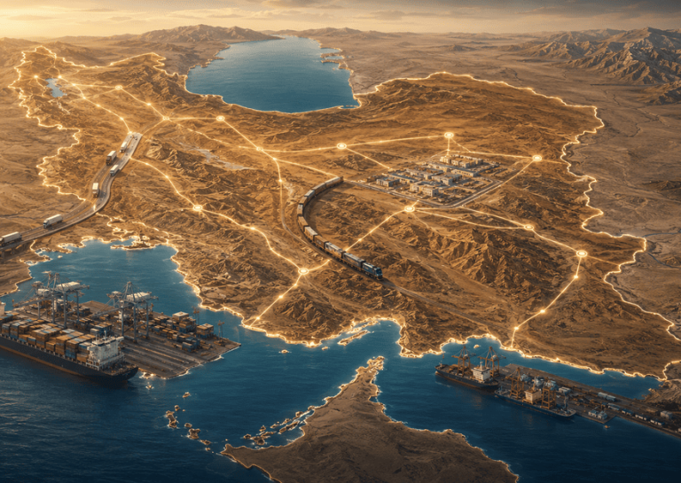
Iran’s position is natural for such a role. It can connect Bandar Abbas and Chabahar in the south to Rasht, Astara, Anzali, Amirabad, and the Caspian in the north. It can link Persian Gulf and Indian Ocean access to the Caucasus and Russia. It can provide Central Asian states with routes to maritime trade. It can create logistics value across rail, trucking, warehousing, customs, ports, and border services.
The Eurasian Development Bank has identified the North–South corridor as a capital-intensive system requiring major investment in roads, railways, ports, logistics centers, and soft infrastructure. Its analysis notes that more than 86% of required investment is tied to road and rail infrastructure, while also highlighting the importance of border procedures, documentation, insurance, and coordination.
That last point is important.
A corridor is not a line on a map. A real corridor is a chain of reliability. Ports must work. Customs must be predictable. Rail must connect. Trucks must move. Insurance must be possible. Payments must clear. Documents must be accepted. Delays must be manageable.
Iran’s geographic opportunity is large, but it becomes real only if the country can make movement through its territory easier, safer, and more predictable than alternatives.
The East–West Layer
Iran is usually discussed as a north-south corridor, but its east-west geography is also important.
To the east, Iran borders Afghanistan and Pakistan. Beyond them lie South Asia, China-linked trade networks, and landlocked markets. To the west, Iran borders Iraq and Turkey, with access toward the Levant, the Mediterranean, and Europe. This creates a second layer of connectivity: Iran as a bridge between South Asia, the Middle East, and Anatolia.
This east-west position has several opportunities.
First, Iran can supply neighboring markets. Iraq, Afghanistan, and parts of Central Asia need food, fuel, medicine, construction materials, consumer goods, electricity, engineering services, and industrial inputs. Iran’s industrial base, agricultural regions, and energy resources can support this demand.
Second, Iran can become a processing and redistribution zone. Goods, minerals, agricultural products, petrochemicals, and manufactured inputs can move through Iranian logistics and industrial clusters before reaching neighboring markets.
Third, Iran can serve as a resilience route. When regional borders, ports, or maritime routes face pressure, countries look for alternatives. Iran’s position between east and west allows it to become part of a wider network of backup routes.
Fourth, Iran can connect border economies to national development. Provinces such as Khorasan Razavi, South Khorasan, Sistan and Baluchestan, Khuzestan, West Azerbaijan, East Azerbaijan, Kurdistan, Kermanshah, and Hormozgan all have strategic border or corridor functions. They are not only provincial economies. They are interface zones.
This is why Iran should not be understood as one market centered only on Tehran. Iran is a system of regional gateways.
Energy Geography
Iran’s geopolitical position is inseparable from energy.
The country holds some of the world’s largest oil and natural gas reserves. The EIA identifies Iran as one of the world’s largest reserve holders for both crude oil and natural gas, while the World Bank notes that Iran has the world’s second-largest natural gas reserves and fourth-largest proven crude oil reserves.
But the importance of energy is not only that Iran has reserves. It is where those reserves sit.
Iran’s energy resources are located near major consumption markets, maritime routes, and energy-deficient neighbors. Iraq needs gas and electricity. Pakistan has long faced energy shortages. Turkey is an energy importer. Armenia, Afghanistan, and other neighbors have varying levels of dependence on imported energy or electricity exchange. The Gulf is a global energy export region. Central Asia is resource-rich but often geographically constrained.
This gives Iran potential roles across several layers:
It can be an oil and gas producer.
It can be a petrochemical exporter.
It can be an electricity supplier.
It can be a gas-based industrial platform.
It can be a regional energy bridge.
It can use energy to support manufacturing, fertilizers, metals, cement, and other energy-intensive industries.
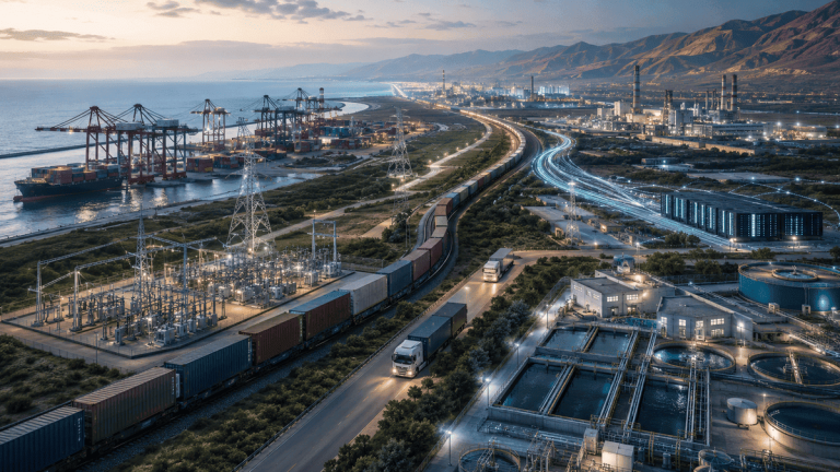
The strongest opportunity is not raw energy alone. Raw energy creates revenue, but energy-linked industry creates deeper value. Petrochemicals, refining, fertilizers, polymers, electricity trade, industrial feedstock, and port-adjacent energy clusters all allow Iran to convert natural resources into wider economic influence.
Energy is therefore not just a sector. It is a geographic multiplier.
Population, Market, and Human Geography
Geopolitics is not only about mountains, seas, and borders. It is also about people.
Iran has a large domestic population, a long urban history, a broad industrial base, and a highly educated society relative to many frontier markets. This gives its geography a second form of value: Iran is not merely a transit route between other places. It is itself a major market.
This matters because some corridor countries are useful only because goods pass through them. Iran is different. Goods can pass through Iran, but they can also be consumed, processed, financed, stored, assembled, repaired, and redistributed inside Iran.
That makes the country more than a bridge. It can be a market-platform hybrid.
A logistics corridor becomes more valuable when it passes through cities, industries, ports, labor markets, and consumption centers. Iran has all of these. Tehran, Isfahan, Mashhad, Tabriz, Shiraz, Ahvaz, Bandar Abbas, Kerman, Rasht, Yazd, Qom, Karaj, and other urban centers create demand and production capacity along different parts of the national map.
This is one reason Iran’s geography has long-term significance even under pressure. A country with strategic location and a small market is useful. A country with strategic location and a large market is harder to ignore.
The Opportunity Map
Iran’s geographic and geopolitical position creates several major opportunity zones.
The first is maritime and port development. Iran’s southern and northern ports can support container trade, bulk cargo, energy exports, cold chains, ship services, storage, and industrial zones. Bandar Abbas, Chabahar, Bushehr, Assaluyeh, Qeshm, Anzali, Amirabad, and Astara each have different strategic roles.
The second is transit and logistics. North-south and east-west movement can create demand for rail, trucking, inland terminals, warehouses, customs technology, border services, multimodal transport, and logistics finance.
The third is energy-linked industry. Iran’s oil, gas, and electricity position can support petrochemicals, refining, fertilizers, metals, cement, polymers, energy-intensive manufacturing, and regional energy trade.
The fourth is regional supply. Iran can supply nearby markets with food, medicine, construction materials, engineering services, consumer goods, industrial equipment, and processed products. Geography reduces distance; industrial capability turns distance into trade.
The fifth is borderland development. Many of Iran’s most strategic opportunities are not in the center, but at the edges: Sistan and Baluchestan, Hormozgan, Khuzestan, West Azerbaijan, East Azerbaijan, Khorasan Razavi, Gilan, Golestan, Kurdistan, Kermanshah, and Bushehr. These provinces connect Iran to external systems.
The sixth is hard-asset positioning. Strategic land near ports, corridors, borders, logistics zones, free zones, energy hubs, and industrial clusters can gain value if connectivity improves.
The seventh is intelligence and verification. In a complex country like Iran, information itself becomes an opportunity. Investors, exporters, logistics firms, and policymakers need reliable data on provinces, companies, infrastructure, markets, constraints, and local partners. Where visibility is weak, trusted intelligence becomes infrastructure.
The Risk Behind the Opportunity
Iran’s geography creates opportunity, but not certainty.
The same location that gives Iran leverage also exposes it to pressure. It sits near contested waters, unstable neighbors, sanctions systems, energy competition, border security challenges, and great-power rivalry. Its geography attracts interest, but it also attracts scrutiny.
This is why Iran is often difficult to evaluate. Its strategic importance is obvious; its practical accessibility is uneven.
For some actors, Iran is a market of the future.
For others, it is a compliance risk.
For some, it is a corridor.
For others, it is a bottleneck.
For some, it is a supplier.
For others, it is a geopolitical uncertainty.
All of these readings can be true at the same time.
The serious approach is not to deny the risks or exaggerate the opportunity. The serious approach is to map the difference between geography, infrastructure, policy, and execution. Iran’s position is powerful, but power must be organized.
Conclusion: Iran as a Geography of Possibility
Iran’s location matters because it sits where multiple regional and global systems meet.
It overlooks the Persian Gulf and the Strait of Hormuz.
It opens to the Gulf of Oman and the Indian Ocean through Chabahar.
It touches the Caspian basin and the Eurasian landmass.
It borders Central Asia, South Asia, the Caucasus, Anatolia, Mesopotamia, and the Arab Gulf world.
It holds major energy reserves near major energy routes.
It has a large domestic market inside a corridor geography.
This combination is rare.
Iran is not just a country with resources. It is not just a country with borders. It is not just a country under sanctions. It is a geography of possibility: a place where energy, trade, transit, industry, and regional demand can meet.
But possibility is not enough.
The countries that benefit most from geography are not always those with the best location. They are those that make their location usable. They build ports that work, borders that move, railways that connect, rules that endure, contracts that hold, and institutions that create trust.
Iran’s map already gives it importance. The next question is whether that importance can become function.
If it can, Iran will not merely be a country others watch in moments of crisis. It will be a country others use in moments of growth.
That is the real significance of Iran’s geopolitical position: it is not only a source of leverage. It is a foundation for opportunity.